Coasts
The North Shore of Kauai in the Week After a Storm
Roads reopening one at a time, rivers the color of milky tea, and a coastline that spends the days after heavy weather quietly putting itself back together.
March 21, 2026 / North Shore, Kauai / Late winter / 9 min
Filed under
Coasts
Written by
Marin Krueger
Published
March 21, 2026
An independent journal with nothing for sale. No booking is taken here, no money changes hands, and no carrier, hotel group or reservation service has any connection to what appears on these pages.
I arrived on Kauai four days after a stretch of heavy rain that had closed part of the north shore road, and I want to be honest that this was not planning. It was a booking made three months earlier and a weather system that did not consult it. What I got instead of the trip I had imagined was a week of watching a coastline recover, which turned out to be more interesting than the one I had planned.
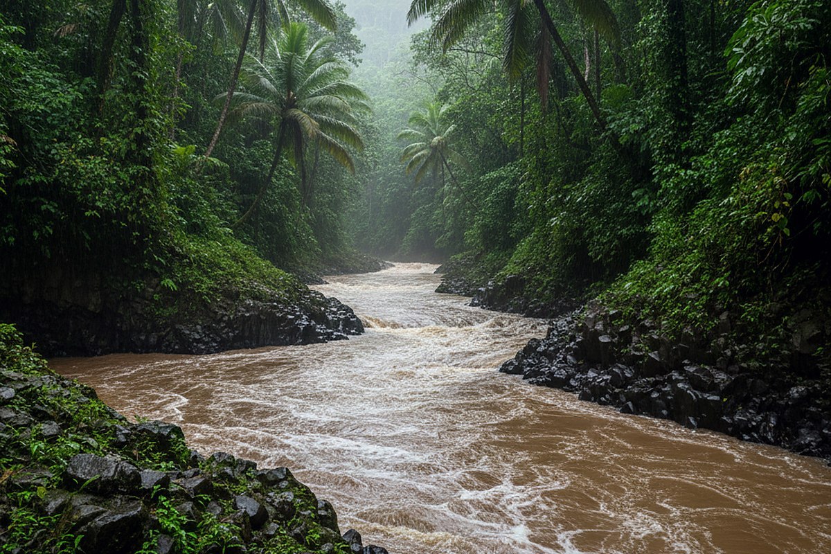
The pattern is well known here and it works roughly like this. Heavy rain falls on the interior, which is one of the wettest places on the planet. The water comes off the mountains through a small number of valleys. The valleys deliver it to a narrow coastal strip that has one road, several one lane bridges, and a handful of places where the road sits almost at sea level. Things close. Then, over several days, they open again in an order that has more to do with engineering than with anybody's holiday.
The first two days, which I spent not going anywhere
The road past a certain point was shut when I landed, and the correct response to that is to stay off it. I say this plainly because the temptation to drive up and have a look is real and the reason not to is straightforward: while a road is closed after heavy rain, the people using it are the ones checking culverts and clearing slides, and the residents who live beyond the closure are already dealing with enough.
So I spent two days on the east side instead, which is not a consolation prize. The rivers there were high and brown and moving, and the light in the mornings was doing the thing that only happens after heavy weather, where the air has had everything washed out of it and distant ridges look closer than they are. I walked a stretch of coast path, drank coffee under an awning, and asked people what was open. That last part is the whole method. A local answer given on Tuesday morning is worth more than any map, any app, and certainly more than a plan made in January.
What a river mouth looks like for a week afterwards
When the road did open I went early, and the first thing worth describing is the water.
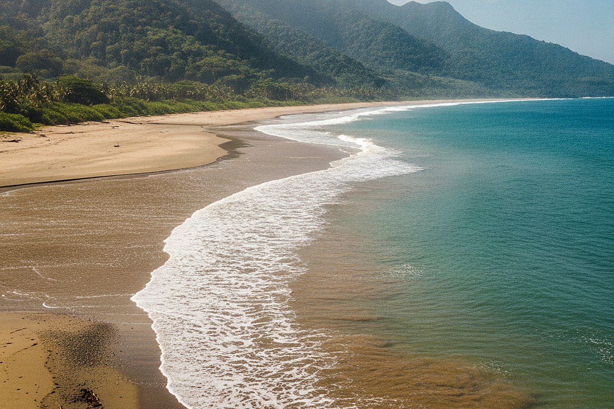
At every river mouth along that coast, brown water was still coming out and spreading into the ocean in a fan. Where the fan met clear water there was a hard visible line, and along that line all sorts of things were happening: birds working it, fish under it, and a long band of foam holding the boundary in place. Some of these fans reached several hundred yards offshore. From a headland you could see the entire system, three or four river mouths along the coast each pushing its own plume out and the current bending all of them the same direction.
This lasts for days, sometimes more than a week for the larger valleys. It means the postcard version of these beaches, which is white sand and improbable blue, is simply not available for a while. What is available instead is a coast doing hydrology in public, at a scale you can see from a car park, and I found I preferred it.
It also means the practical advice about entering the water after heavy rain is not a formality. Cloudy runoff, floating debris, and stronger than usual currents at river mouths are all real, and every local source says the same thing, which is to stay out until it clears. I did not swim on this trip. That was not a hardship.
The bridges, and the small social contract on them
The north shore road crosses several one lane bridges, and they run on a courtesy system rather than a signal. The convention as it was explained to me, and as I watched it work perfectly for a week, is that about five to seven cars go through in one direction and then the flow yields to the other side, and a driver waiting to enter gives way to anyone already on the bridge. There is a shaka from nearly everybody and it means thank you rather than anything else.
I mention it because it is the clearest example of something the whole coast runs on. This is a road through people's neighborhoods. It is not a scenic loop with houses incidentally along it. In the week after heavy rain that distinction becomes very sharp, because half the traffic is not sightseeing at all.
Which brings me to the thing I would tell anyone going in the same window. Slow down, park only where parking exists, and if a beach access has three cars in it and no room for a fourth, take that as the answer rather than a challenge. Some of the best places on this coast have deliberately small car parks, and that is a management decision rather than an oversight.
The morning the cloud lifted
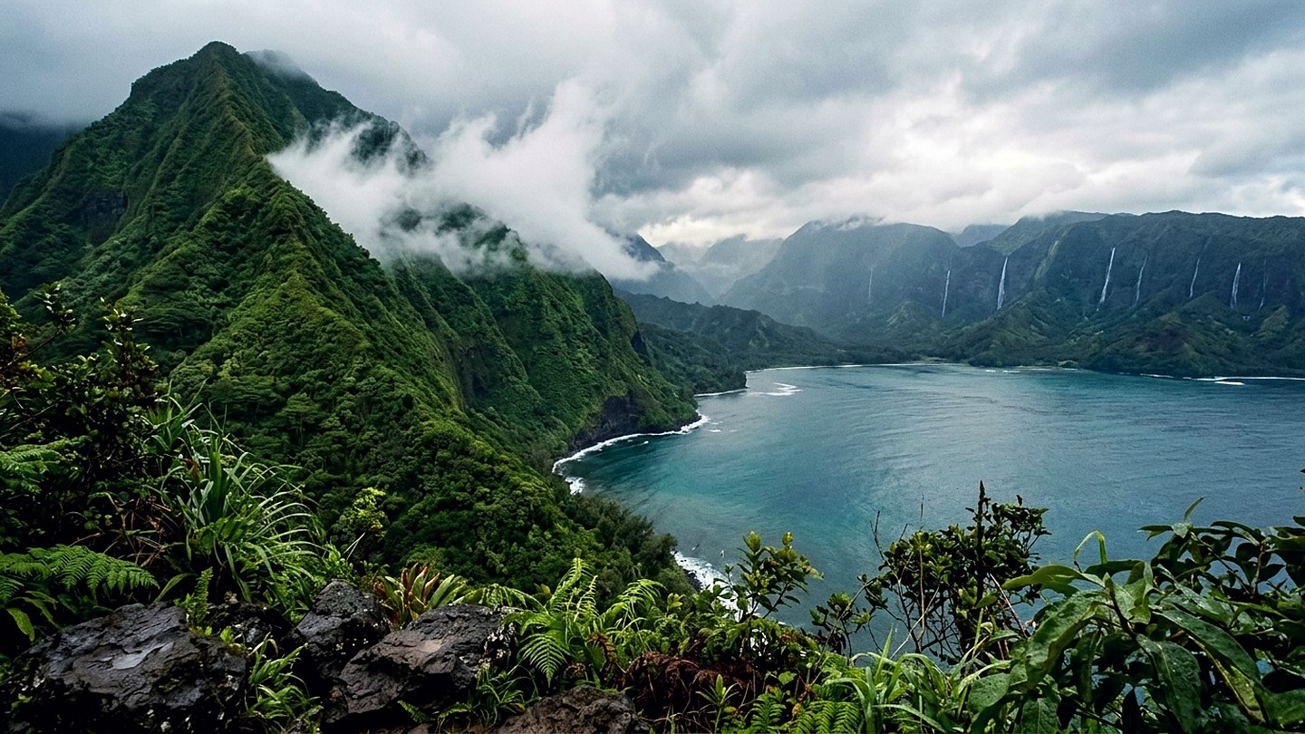
On the third morning I was out before six and the weather did the thing you cannot plan for. Overnight cloud had settled into the valleys and was sitting in them like something poured, and as the sun came up it began to lift and tear at the same time. For about forty minutes the ridges came and went. A whole green wall would appear complete, then a piece of cloud would cross it and take out the middle, then the top would clear while the base stayed hidden.
I have chased this on three visits and got it once. There is no technique beyond being outside early, repeatedly, on a coast that has just had a lot of rain, and accepting that most of those mornings will simply be grey. On this one I stood on a public overlook with two other people, none of us talking, for the better part of an hour.
Practical notes
The road is the constraint on everything here, so build the day around it. Traffic on the north shore road builds through the morning and the stretch nearest the end is the worst of it. Going early is not about light, it is about being able to move at all. On several days I was back and doing something else by eleven.
Reserved access applies at some of the state park sites at the end of the road, and the reservation system is not optional or lightly enforced. Check the current arrangement before you go, because it has changed more than once in recent years and the version in a guidebook from two seasons ago will be wrong.
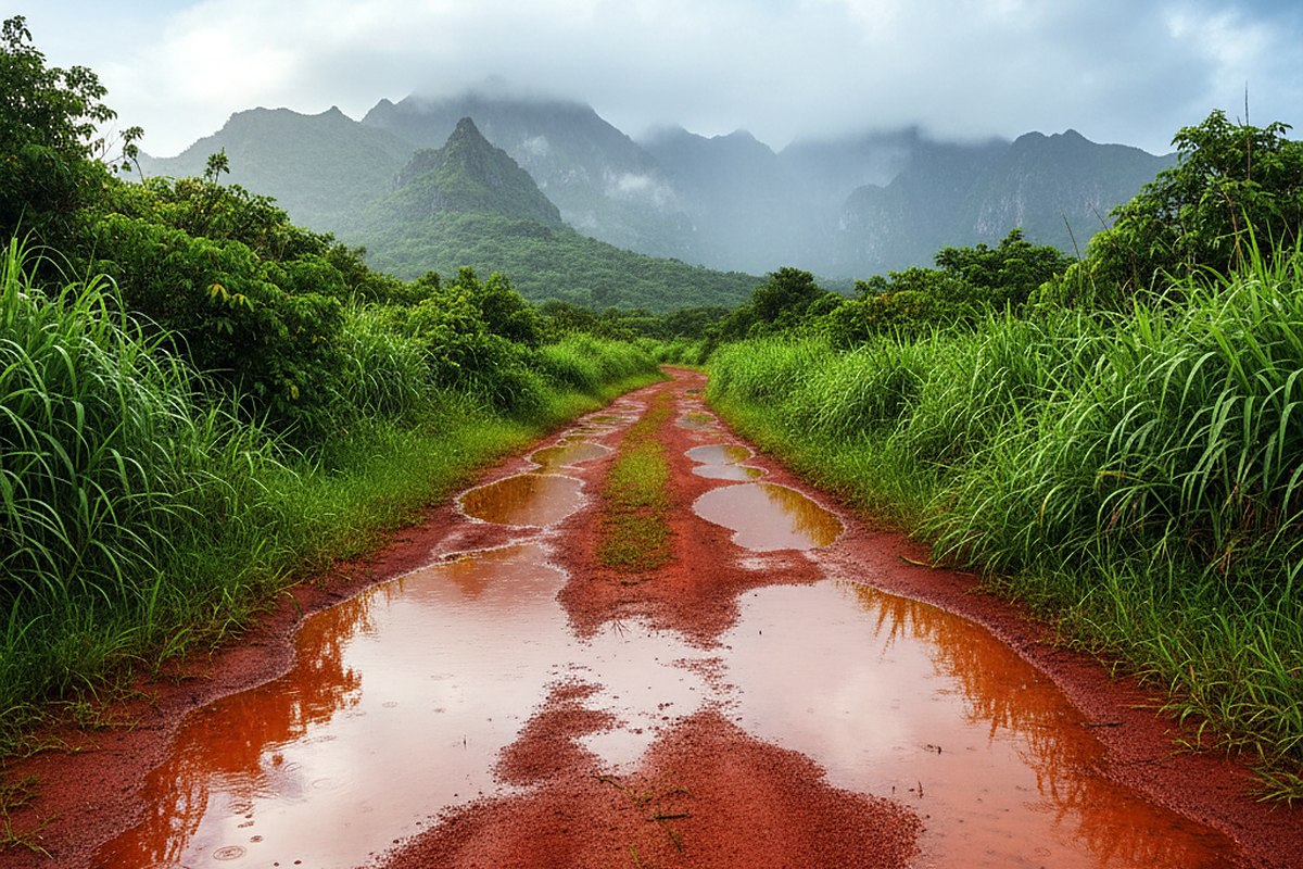
For after heavy weather in particular: expect at least one thing on your list to be shut, expect the reopening to be announced with very little notice, and expect the day you get is not the day you planned. Take a book. Take shoes that handle mud, since the trails hold water for days and the red earth here turns into something with genuine opinions about traction.
What the week was actually about
I did not see the north shore at its most photogenic. The famous stretch of sand was the color of weak coffee for four of my seven days and the water off it stayed cloudy the whole time. Two things I had wanted to walk were closed and stayed closed.
What I got instead was a coast in the middle of a process, which is not a version of a place that gets photographed much. Rivers unloading a mountain into the sea. A road being put back together one culvert at a time. Neighbors on a bridge letting each other through. I came away thinking that the week after heavy weather is a genuinely good time to be here, provided you arrive with no fixed plan, ask a lot of questions, and understand that you are a guest in a working landscape that has other things on its mind.